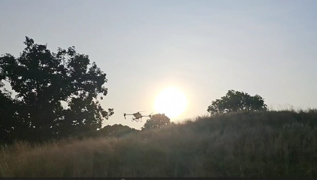
FAA Part 107 & 137 Certified Aerial Applicator

Precision drone spraying for turf that matters.

Expert herbicide, fungicide, PGR, and mosquito applications for golf courses, native areas, farms, and municipalities across Ohio and the Midwest — flown by certified pilots, guided by RTK-GPS, documented to the acre.

FAA PART 107 & 137 RTK-GPS PRECISION OHIO + THE MIDWEST
30–50%less chemical through targeted spot & zone spraying
10–20 ac/hrcoverage — about double conventional methods
Up to 90%reduction in labor needed on the ground
100%of applications documented with as-applied maps

What we do

One drone. Every hard-to-reach acre.

Applications customized to your goals, site conditions, and timing — no ruts, no compaction, no crews wading through steep or wet ground.

🌾

Native-Area Weed Control

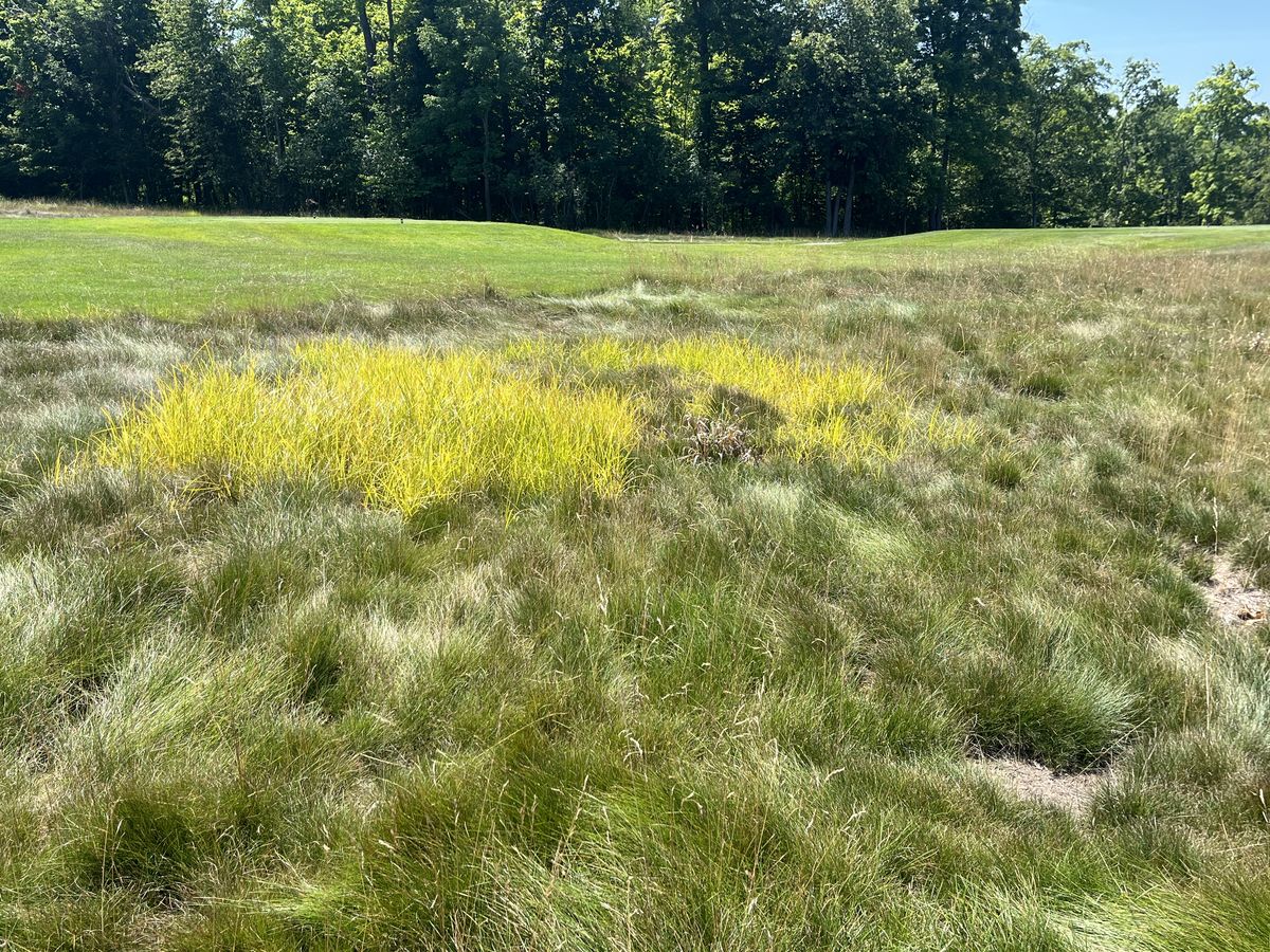
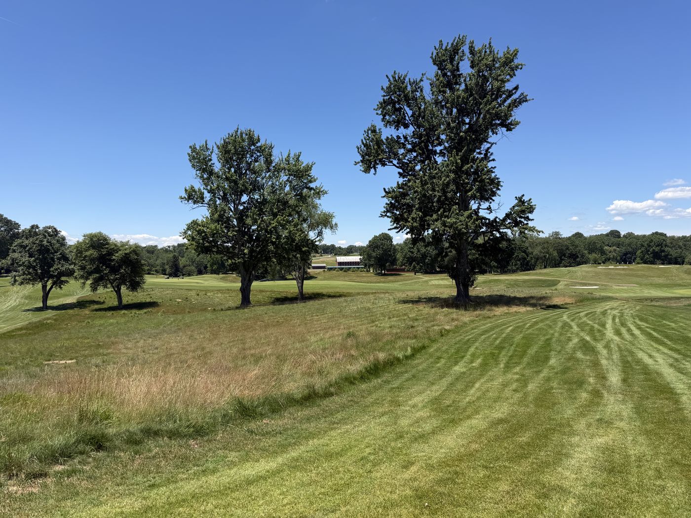
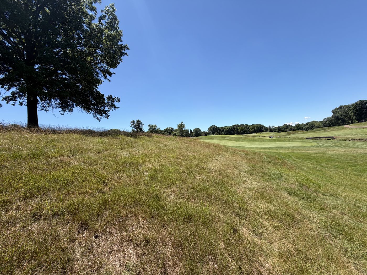
Targeted herbicide programs that keep fescue and native stands clean from May to Labor Day — the application our golf course clients build agronomic plans around.

Golf Course Applications

Fungicides, PGRs, and herbicides applied with course-aware precision by a team with two decades of golf and sports-turf contracting behind it.

🚜

Agricultural Spraying

Efficient aerial application for row crops and specialty fields — cover more acres in less time with prescription-grade accuracy.

🦟

Mosquito Mitigation

Targeted larvicide and adulticide programs for residential communities, parks, and municipal spaces.

🗺️

HD GPS-RTK Mapping

Survey-grade 2D orthomosaics and full 3D course models, plus LIDAR and thermal inspection services.

🌿

Vegetation Management

Invasive and unwanted vegetation control on utility corridors, pond edges, slopes, and anywhere ground equipment can't safely go.

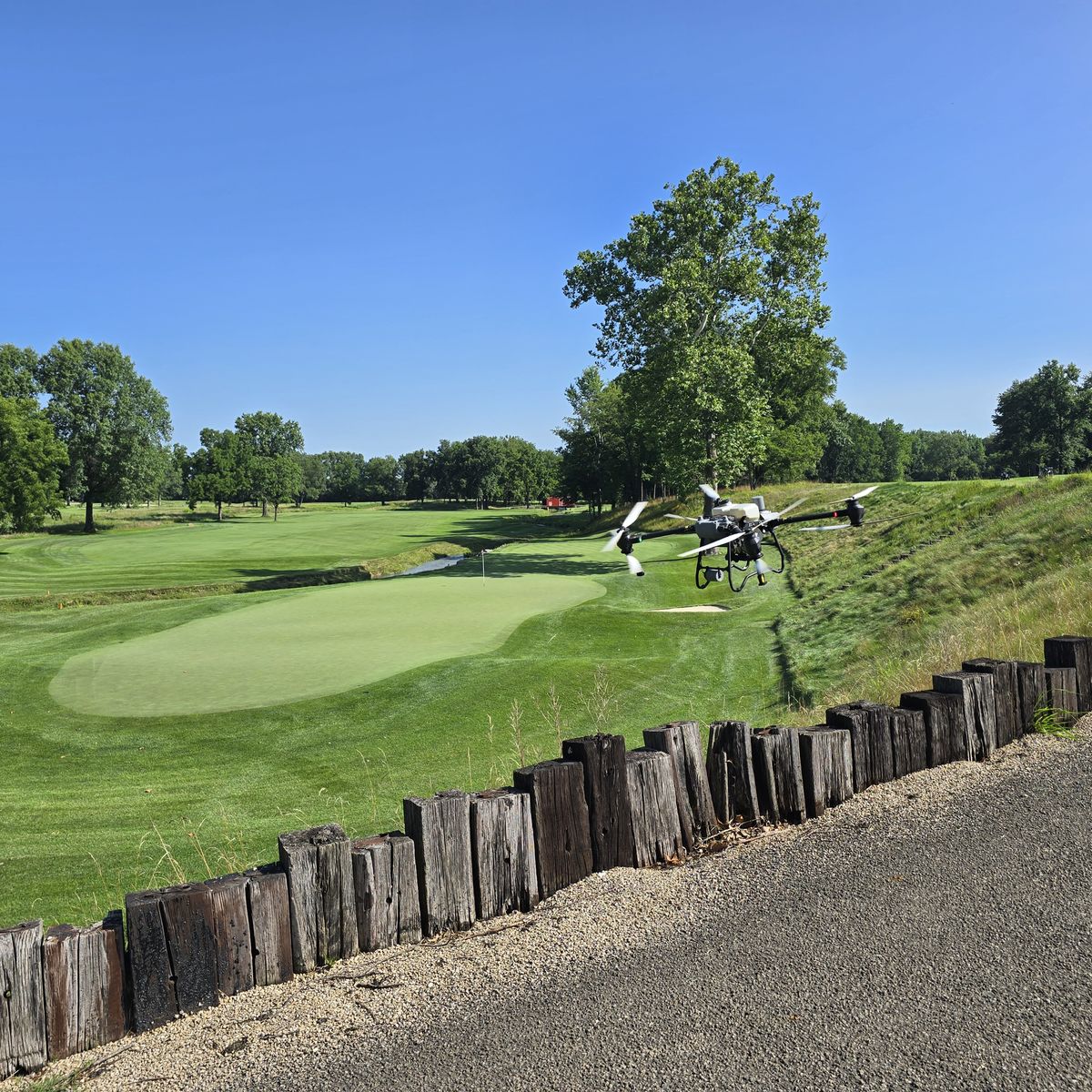
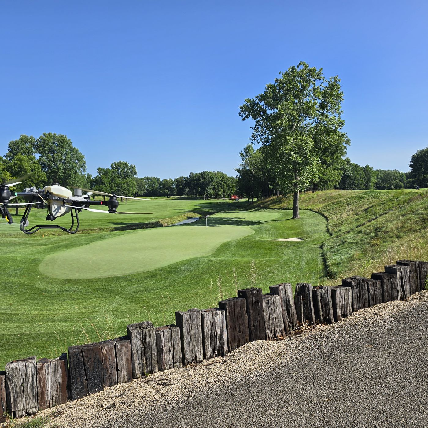
Spray drone working a native bank beside a green

Why drone application

Precision the sprayer truck can't touch.

  • Zero turf damage — no ruts, no compaction, no tracking through wet ground.
  • Spot & zone spraying — treat only what needs treating, cutting chemical use 30–50%.
  • RTK-GPS guidance — repeatable, inch-level accuracy pass after pass, season after season.
  • Steep, wet, and sensitive ground — bunker faces, pond edges, slopes, and natives without risking crews or equipment.
  • Certified & insured — FAA Part 107 & 137 operations flown by certified remote pilots.

Map first, spray smart

Every property mapped before a single gallon flies.

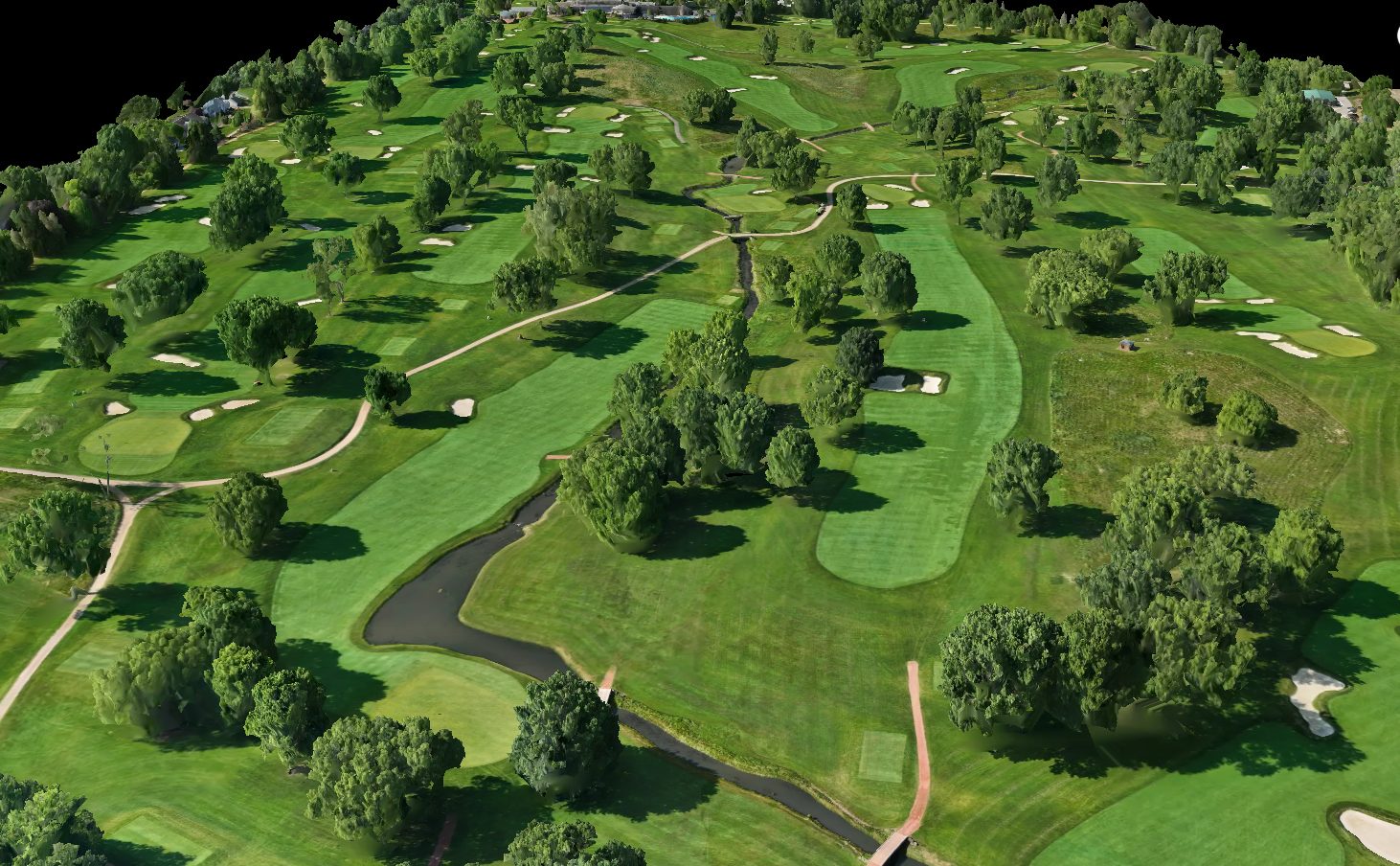
We fly survey-grade HD GPS-RTK imagery and build full 3D models of your property. Treatment areas are drawn to the square foot, acreage is computed geodetically, and every application is planned — and recorded — against the real map.

  • 2D orthomosaics & 3D models of your entire course or property.
  • Exact treatment acreage — pay for what's actually sprayed, not an estimate.
  • LIDAR & thermal available for drainage, canopy, and inspection work.
3D-mapped model of a golf course produced from drone imagery

Our software

Powered by DroneSpray.ai — built by applicators, for applicators.

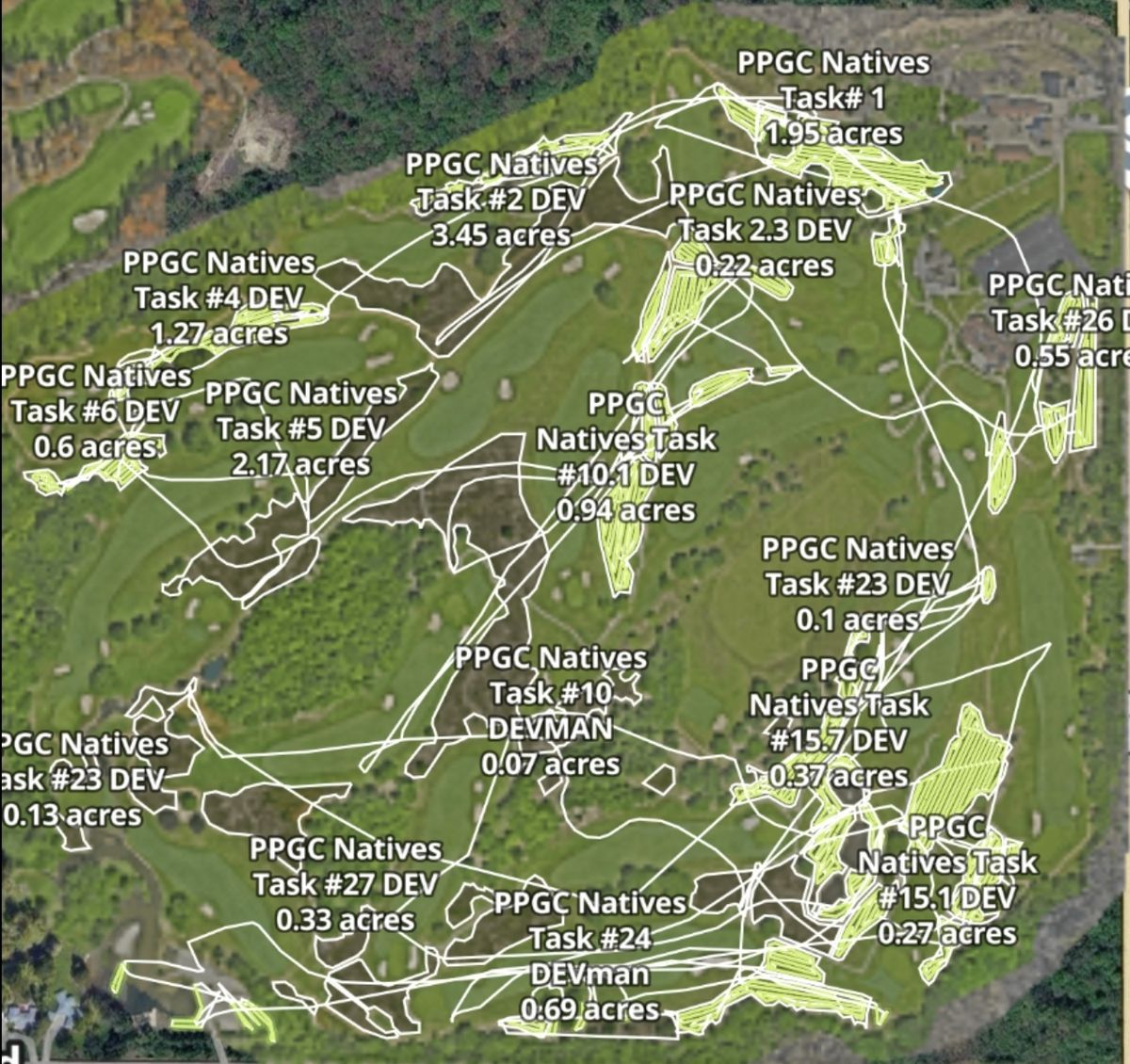
We didn't just buy drones — we built the platform that runs the operation. DroneSpray.ai handles our course mapping, tank-mix calculations, compliance checks, and spray records — and it's available to superintendents and operators too.

Explore the DroneSpray.ai Platform ↗

Real DroneSpray.ai task map showing named native-area treatment polygons with per-area acreage

How it works

From first call to filed record.

Map & Plan

We fly your property, build the map, mark treatment areas and buffers with you, and quote from exact acreage.

Apply

Certified pilots fly the application with RTK precision — right product, right rate, right place, right conditions.

Document

You receive complete application records with as-applied coverage maps — ready for your files, your board, or your regulator.

Recent work

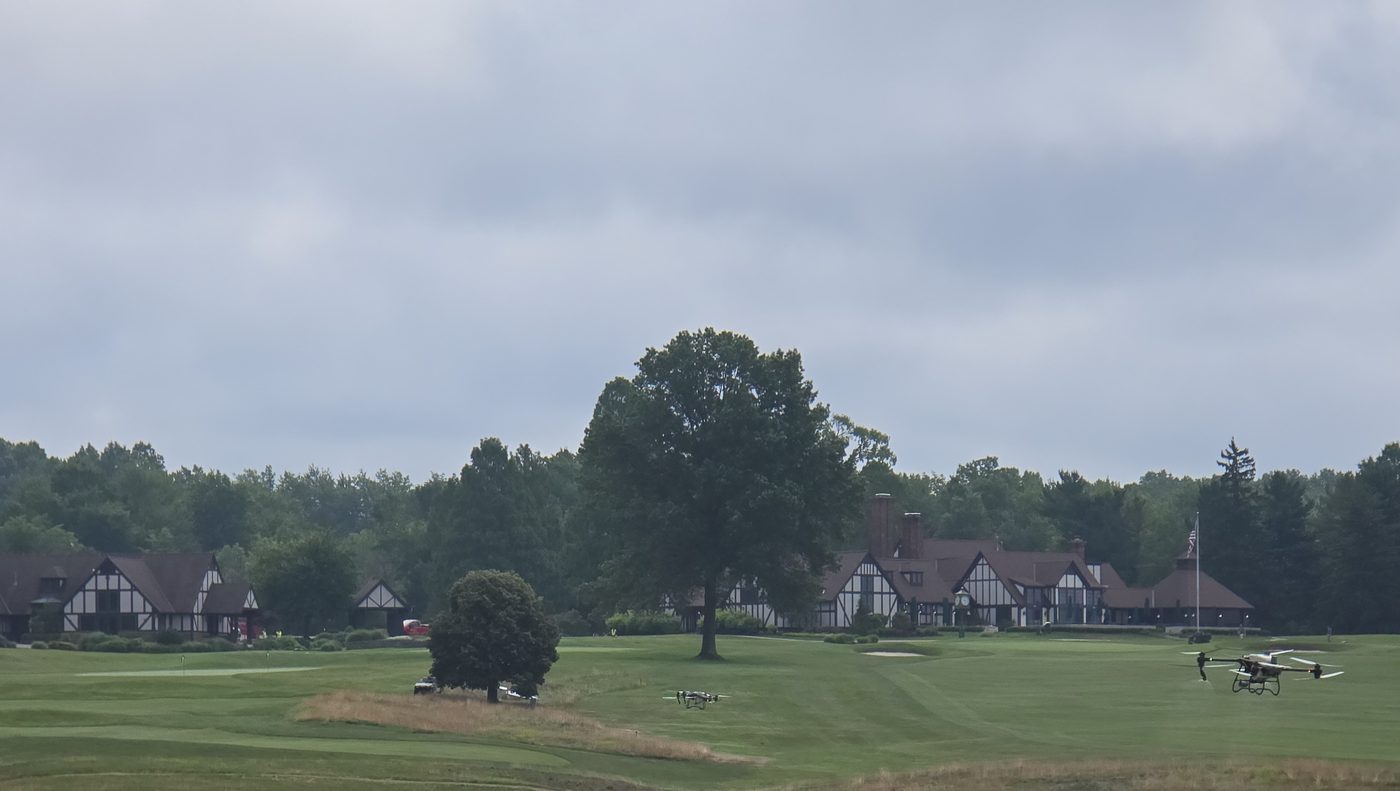
From our courses, this season.

What superintendents say

Results on real courses.

★★★★★

"We treated our native areas in May, followed by a second application four weeks later, and the results were exactly what I was hoping for. This technology has earned a permanent place in my agronomic program, and I plan to continue expanding the treated acreage moving forward."

Scott BazenGolf Course Superintendent · Chagrin Valley Country Club
★★★★★

"Phil and his team were professional, responsive, and clearly knew what they were doing. What impressed me most was the combination of precision, communication, and overall professionalism. It's clear they understand golf course conditions and how to apply this technology in a practical way."

JR LynnGolf Course Superintendent · Canton Brookside Country Club
★★★★★

"Communication was exceptional — the pilots were professional, punctual, and highly skilled. I'd recommend Aero Precision Drones to any turf manager who values detailed applications and large-area coverage."

Questions

Frequently asked.

Is drone spraying legal?

Yes. Aero Precision Drones operates under FAA Part 137 (agricultural aircraft operations) with Part 107 certified remote pilots, and applications are made by licensed pesticide applicators according to each product's label.

What areas are drones best suited for?

Native and fescue areas, steep slopes, bunker faces, pond and stream edges, wet ground, and anywhere ground equipment causes damage or can't safely operate. We also fly full-coverage fairway and agricultural applications.

How much area can you cover?

Typically 10–20 acres per hour depending on product, rate, and site conditions — roughly double conventional ground methods, with up to 90% less labor on site.

How do you keep natives weed-free all season?

Our standard golf program is a late-spring application followed by a second pass about four weeks later. Clients typically stay clean from May through Labor Day, with programs customized to your species mix and site.

What records do I get?

Every job produces a complete commercial application record — products, rates, EPA registration numbers, weather, and as-applied GPS coverage maps — generated through our own DroneSpray.ai platform.

Where do you work?

We're based in Ohio and serve golf courses, farms, and municipalities across the Midwest. For projects further afield, call us — we travel for the right work.
Get on the schedule

Book your application.

Spring and summer windows fill fast — reach out with your property and target areas, and we'll come back with a mapped plan and exact-acreage quote.

📞330.206.7581Call or text
✉️info@dronespray.aiEmail us

Start an Inquiry ✉️